- Please choose product options by visiting The History of Ballyboy, Kilcormac and Killoughy - Rev. Andrew L. Shaw.

Birr map 1909
€5.00
In stock
Description
Birr map 1909
The main map covers most of the town of Birr, with coverage from Pound Street southward to Moor Park and Seefin, and from Mount Palmer eastward to Clonoghil House. Features include the Observatory, town centre with all buildings neatly shown, Scurragh, Syngefield, Oxmantown Bridge, Presentation Brothers School, Birr Castle, Cumberland Square, John’s Place, Manor Saw Mill, Fair Green, St Brendan’s RC church, Industrial School, St Brendan’s church, Court House, Monastery, Union Workhouse, Elm Grove etc. The reverse side includes about half of adjacent sheet 35.14 extending coverage southward to include Crinkill, Whiteford.
Additional information
| Weight | 50 kg |
|---|---|
| Dimensions | 21 × 12.1 × 0.2 cm |
Related products
-
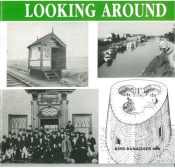
Looking Around
€20.00